
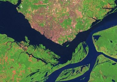
Understanding land cover and land use changeThe GOES team uses interdisciplinary methods to understand the role of land use and cover change at the global scale. We work in tropical systems in forests, woodlands and trees outside of forests. Our work links environment and economic development. |
Earth observations and information technologyTo monitor the global environment, and to bring carbon mitigation interventions to scale, we use remote sensing and earth observing systems. We develop web-enabled knowledge management platforms to make the information accessible |
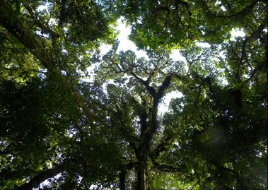
Forest carbon measurement and monitoringOur research and observing systems are applied to climate change mitigation, and reducing greenhouse gas emissions. The aim is to provide knowledge and technical capacity building for low carbon management in the forestry and agriculture sectors. |
We have projects around the world, working with international partners to conserve forests and mitigate climate change through new models of low carbon sustainable forest management. We emphasize models for reducing deforestation and forest degradation, and forest landscape restoration. Our flagship program, Carbon2Markets, is an environmental services based economic development model that links forest carbon management to livelihoods and poverty reduction. We focus on closed tropical forests, and also on sparse woodlands and tree based systems (trees outside of forests). Our current work supports REDD+ measurement, reporting and verification in East Africa, India, Indonesia, Thailand, and Vietnam. Our REDD+ web platform includes a data management system for Activity Data and Emissions Factors, a learning management system for distance learning, and community engagement toolkit.